The History of Time Zones: How Railways Set the Clock
Time zones grew out of a practical problem: towns set their clocks by the Sun, but trains needed schedules that worked across cities. Railways helped standardize time in Britain and North America before an international system took shape.
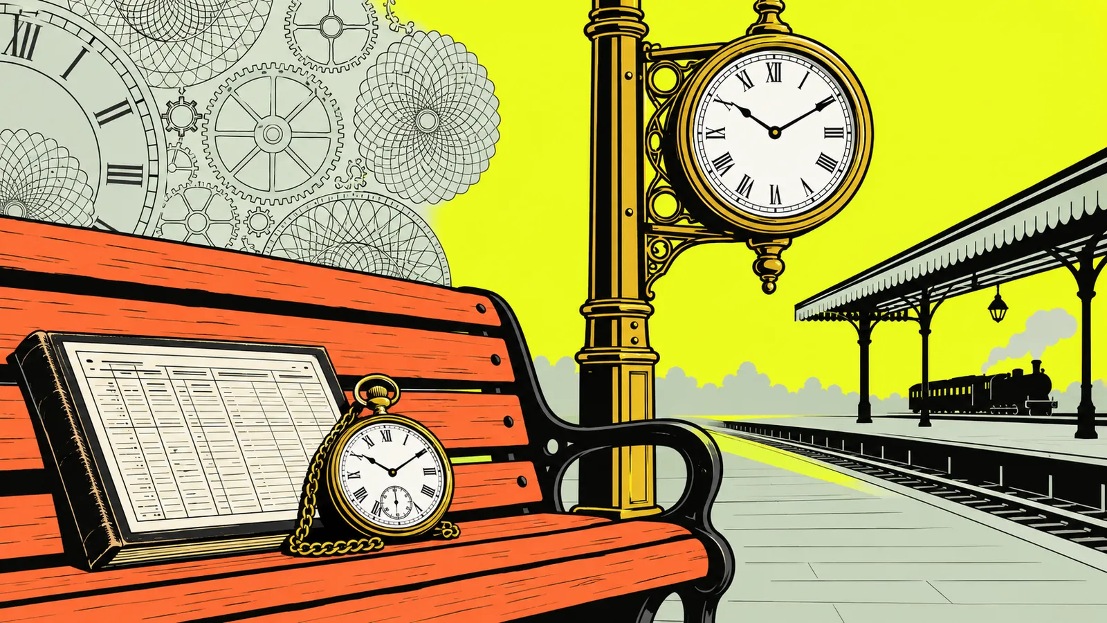
Time zones developed as railways and communications made local solar times difficult to coordinate. Britain adopted GMT as Railway Time in 1847; North American railroads switched to four standard zones on November 18, 1883; and the 1884 International Meridian Conference recommended a global framework. In the United States, the Standard Time Act of 1918 brought standard time zones into federal law. Royal Museums Greenwich and the Library of Congress document these milestones.
- IBritain’s Railway Clearing House adopted GMT in December 1847.
- IINorth American railroads adopted four zones on November 18, 1883.
- IIIThe 1884 conference recommended Greenwich as the prime meridian.
- IVThe U.S. Standard Time Act became law on March 19, 1918.
- VTime-zone boundaries can change to reflect local and commercial needs.
Before time zones, every town kept its own time
For much of the 19th century, clocks were set by local solar time: noon came when the Sun crossed a location’s meridian. Because the Sun reaches that point at different moments in places at different longitudes, neighboring towns could show different times. This was manageable when most people’s daily routines were local. It became harder when railways connected communities and travelers needed to know when a train would arrive.
The scale of the problem is described differently in historical accounts, but the central issue is clear: North America had many competing local times. The Encyclopaedia Britannica account of standard time explains that railway journeys across long distances made a common time particularly useful. Railroad operators had already tried regional time arrangements, but a more consistent system was needed for schedules and operations.
Why longitude matters
Earth turns through 360 degrees in 24 hours. Dividing 360 by 24 gives 15 degrees per hour, the basis for the theoretical arrangement of 24 hourly zones. A zone lets a broad region use one agreed clock time instead of giving each town a unique one. Actual time-zone borders do not follow perfect straight lines: countries and communities adjust them for practical reasons.
The change was not only technical. Standard time replaced a familiar connection between the clock and the local Sun with a shared civil convention. Some people objected to that change, including on grounds of local autonomy or the difference between standard time and sun time near a zone boundary, as the Smithsonian National Museum of American History records.
Britain’s Railway Time began in 1847
Britain moved toward a common railway clock before the major North American change. In December 1847, the Railway Clearing House adopted Greenwich Mean Time across Great Britain. The standard became known as Railway Time because railway companies used it to coordinate their operations. Greenwich time gave railways a shared reference instead of relying on each town’s local solar time.
Adoption spread beyond railway timetables. By the mid-1850s, almost all public clocks in Britain were set to GMT, according to Royal Museums Greenwich. GMT became Britain’s legal standard time in 1880. These milestones are related but distinct: railways adopted a common time first, public clocks followed, and legal recognition came later.
Why Greenwich?
Greenwich already mattered to navigation and timekeeping. British mariners used chronometers set to GMT to calculate longitude from the Greenwich meridian. The Royal Observatory’s Shepherd master clock also sent time signals by telegraph to cities, helping distribute a common reference. By 1866, its signals reached Harvard University through a transatlantic submarine cable.
Railway Time helped show how useful a shared reference could be, but it did not by itself create a worldwide system. If you want to compare present-day local times, a world clock shows them side by side; a time zone converter can convert a particular meeting time between locations.
November 18, 1883: U.S. and Canadian railroads switch
Before the North American railroad change, towns set local time by the Sun, and rail companies used a patchwork of regional arrangements. Railroad officials wanted a system that could make schedules more manageable across long routes. On November 18, 1883, at noon, U.S. and Canadian railroads switched to Standard Railway Time, organized into four operating zones: Eastern, Central, Mountain, and Pacific.
The Library of Congress describes the switch as a precise, coordinated change. The Library of Congress Law Library notes that clocks in several cities struck noon twice: once for local time and once for the new standard. This earned the date the name “Day of Two Noons.” Many communities adopted the railroad standard quickly, though the system was not yet federal law.
| Date | Milestone |
|---|---|
| December 1847 | Britain’s Railway Clearing House adopts GMT as Railway Time. |
| November 18, 1883 | North American railroads adopt four standard operating zones. |
| 1884 | Delegates recommend a global system based on the Greenwich meridian. |
| March 19, 1918 | The U.S. Standard Time Act becomes law. |
The four zones were intended for railway operations; local governments then adopted them, often following the railroads’ lead. The arrangement was a major practical standard, but not a final map of every time boundary. For context on the present-day U.S. system, see how many time zones the U.S. has.
The 1884 International Meridian Conference sets a reference
The railroad systems raised a broader question: what common reference should different countries use to coordinate time? In 1884, delegates from 27 countries met in Washington, D.C., at the International Meridian Conference. They recommended the Greenwich meridian as the world’s prime meridian and a framework of 24 standard meridians, spaced 15 degrees apart. Greenwich became the reference point for the global arrangement.
It is useful to be precise about what the conference did. It recommended a common starting meridian and a system that could support worldwide time coordination; it did not make every country immediately adopt identical time-zone laws or borders. Countries took up the system over time. The Encyclopaedia Britannica overview explains that the 24 meridians are theoretical zone centers and that real zones are often altered for convenience.
Greenwich, GMT, and the date line
GMT is the mean clock time at Greenwich, not the changing apparent time shown by a sundial. The conference’s recommendation made Greenwich the reference for longitude zero and the Universal Day. The International Date Line lies roughly opposite the prime meridian, around longitude 180 degrees, but its route is not a perfectly straight line. It bends to account for political borders and island groups. See the National Oceanic and Atmospheric Administration’s explanation of the date line.
The history of the system is therefore a mix of astronomy, navigation, transport, and political choices. A time-zone map can help you see how the theoretical bands turn into the irregular boundaries used in practice.
The Standard Time Act of 1918 puts U.S. time zones in law
For decades, railroads and communities largely maintained the system that began in 1883. Federal recognition came during World War I. The U.S. Standard Time Act was enacted on March 19, 1918. It incorporated standard time zones into federal law and gave the Interstate Commerce Commission authority to set their boundaries. The law is also known as the Calder Act.
The act is often remembered alongside daylight saving time, but those are connected rather than identical developments. The 1918 law established standard zones and introduced daylight saving time in the United States. Daylight saving shifts clocks seasonally; standard time zones define the civil time used across regions. Congress repealed the daylight-saving provision after the war, while the standardized time-zone framework continued. The Cornell Legal Information Institute identifies the 1918 act as the Calder Act, and the U.S. Department of Transportation summarizes the federal role in time-zone oversight.
How the boundaries changed later
The U.S. map has been revised since 1918. Federal law and regulations now define nine standard zones for U.S. territory, and the Department of Transportation oversees boundary matters. State and local circumstances can prompt changes; the department’s records include county moves between Central and Eastern or Mountain and Central time. That is why a time-zone boundary should not be treated as a permanent line of longitude.
Daylight saving time also has its own rules and exceptions. For current dates and clock changes, use the guide to the history of daylight saving time or check a current UTC clock before scheduling across regions.
How time zones work today—and what they do not mean
A time zone is a region that uses an agreed civil time. Its offset describes how that time relates to UTC, the modern international reference used in computing and time coordination. GMT remains a name for Greenwich time and is still used in some settings, but it is not simply another label for every local time around the world. For a closer comparison, read the difference between GMT and UTC.
The arithmetic can be simple when you know the offsets. In winter, New York uses Eastern Standard Time, UTC−5, while London uses GMT. So, if it is 9:00 a.m. in New York, it is 2:00 p.m. in London: add five hours. This example depends on both locations being on those standard-time rules. When either location observes daylight saving time, the difference can change. The U.S. and UK seasonal rules are not always synchronized, so check the date before setting a call.
| Location | Example time | Reference |
|---|---|---|
| New York | 9:00 a.m. | Eastern Standard Time, UTC−5 |
| London | 2:00 p.m. | GMT; five hours ahead in this example |
Zones are not always whole hours from UTC. Some places use half-hour or quarter-hour offsets, and some large countries choose one official time across a broad area. A time-zone label also does not guarantee the same seasonal clock rules everywhere. For a real appointment, use the meeting planner or time-difference tool, and confirm the date as well as the cities.
Why the history still matters when you schedule
The history of time zones explains why modern time is not just a matter of drawing equal slices on a globe. Railway companies needed a workable schedule; countries and communities later chose how to use and govern shared time. Time-zone borders can change, and seasonal clock rules add another layer. The IANA Time Zone Database records local-time history for many locations and is updated as political decisions change boundaries, UTC offsets, or daylight-saving rules. Software uses those rules to calculate the local time for a location.
That matters when you arrange a call, travel, or calculate a deadline. A fixed offset such as UTC−5 is not always enough to represent a city’s rules throughout the year. Location-based time-zone data can account for changes that a simple manual offset misses. If you are counting days between dates, use the date calculator; for work schedules that span time changes, the hours calculator can help with elapsed time.
A quick checklist for cross-zone plans
- Use the city or location, not only an abbreviation such as EST.
- Check the calendar date, because daylight-saving schedules differ by region.
- Confirm the result with a current converter or meeting planner.
- For important travel or work plans, verify the local time with the relevant organization.
The practical lesson is the same one the railways faced: shared time makes coordination easier, but only when everyone is using the correct local rules. A standard clock system reduced confusion; it did not eliminate the need to check where and when a rule applies. For location-specific background, see our guides to time zones in Canada and time zones in Australia.
Questions people ask
When were time zones first used?
Railway and regional standard times came before the worldwide system. Britain’s Railway Clearing House adopted GMT in December 1847. North American railroads introduced four operating zones on November 18, 1883, and the 1884 International Meridian Conference recommended a global framework based on Greenwich. Royal Museums Greenwich documents the British milestone.
Why did railroads create standard time?
Railways crossed towns whose clocks showed different local solar times. A shared time system made it easier to publish schedules and coordinate operations across routes. North American railroads adopted four standard operating zones on November 18, 1883, according to the U.S. Department of Transportation.
What happened on November 18, 1883?
At noon, North American railroads switched to Standard Railway Time. The four operating zones were Eastern, Central, Mountain, and Pacific. Some cities experienced noon under both their local time and the new standard time, a change remembered as the “Day of Two Noons.” The Library of Congress Law Library describes the event.
What did the 1884 International Meridian Conference decide?
Delegates recommended the Greenwich meridian as the prime meridian and a global framework of 24 standard meridians, spaced 15 degrees apart. The recommendation gave countries a shared reference, but adoption of time-zone systems happened gradually. The Encyclopaedia Britannica explains how the theoretical zones differ from real-world boundaries.
What did the U.S. Standard Time Act of 1918 do?
Enacted on March 19, 1918, the act put standardized time zones into federal law and gave the Interstate Commerce Commission authority over their boundaries. It also introduced daylight saving time, which was later repealed after World War I. The act is popularly known as the Calder Act; see the Cornell Legal Information Institute.
Are time zones exactly 15 degrees wide?
Not usually in practice. Fifteen degrees of longitude corresponds to one hour of solar time, which provides the theoretical basis for 24 zones. Real boundaries are adjusted for political and practical reasons, and some regions use half-hour or quarter-hour offsets. The Encyclopaedia Britannica overview describes these variations.
Sources
- Standard Time, Encyclopaedia Britannica
- Greenwich Mean Time (GMT), Royal Museums Greenwich
- Time Zones, Smithsonian National Museum of American History
- Time!, Library of Congress
- Whose Time is it Anyway? A Brief History of Standardized Time Zones in the United States, Library of Congress, Law Library of Congress
- What is the international date line?, National Oceanic and Atmospheric Administration
- 15 U.S. Code § 261 - Zones for standard time; interstate or foreign commerce, Cornell Legal Information Institute
- Uniform Time, U.S. Department of Transportation
Edited by Leo, editor of WhatTimeIsIt.blog
Calculations on this page run in your browser using the IANA time zone database and standard calendar rules. Facts are checked against the government agency, standards body or official source linked in the text. Last reviewed November 10, 2026. See the editorial policy or report an error to hello@whattimeisit.blog.